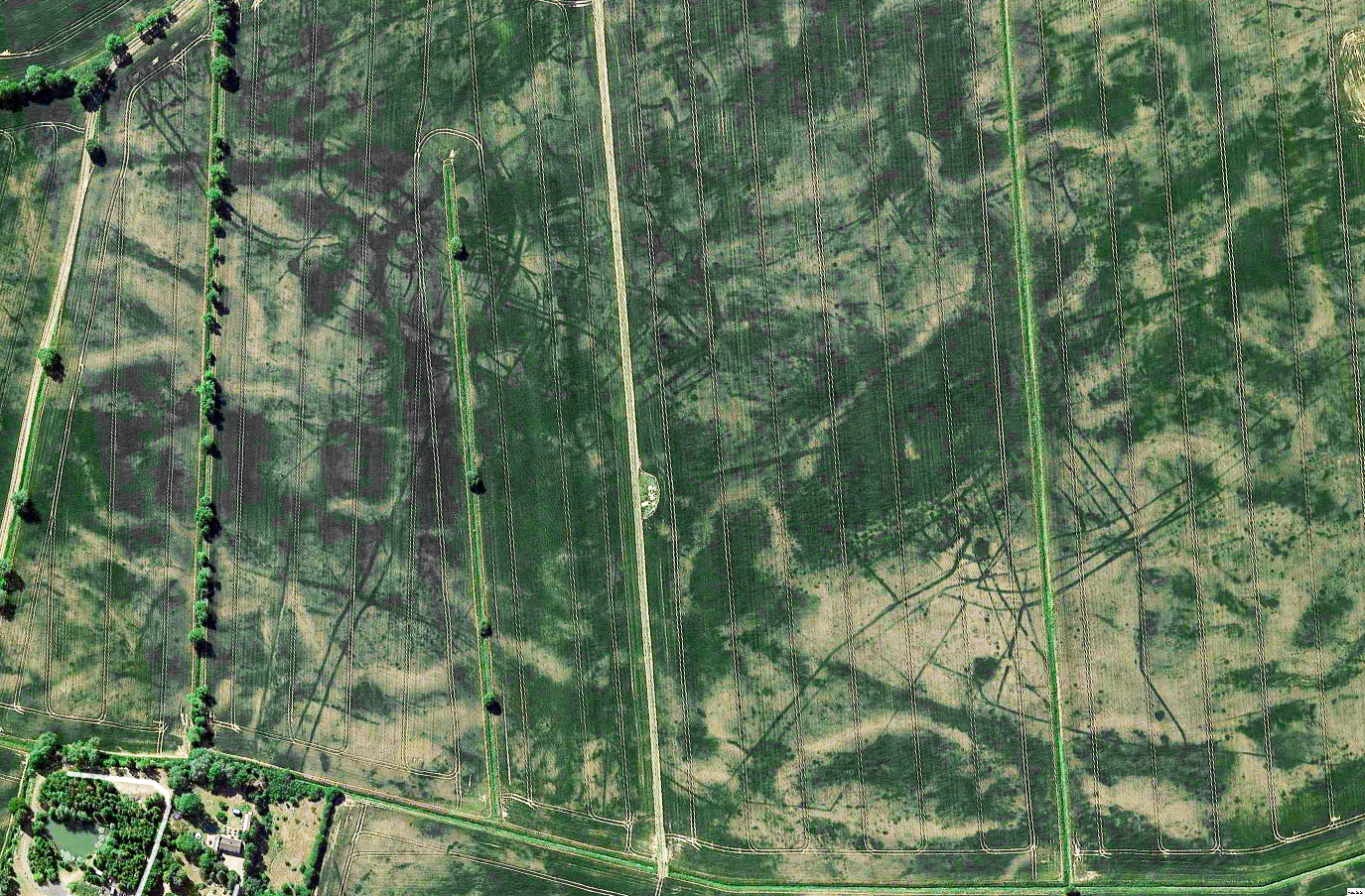
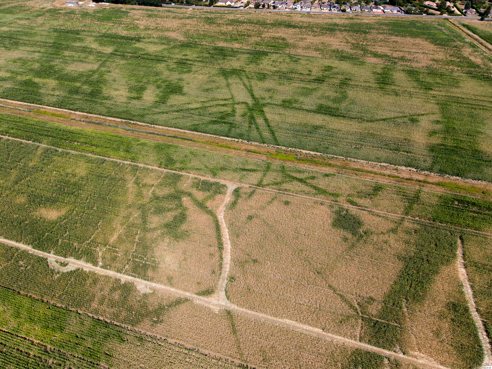
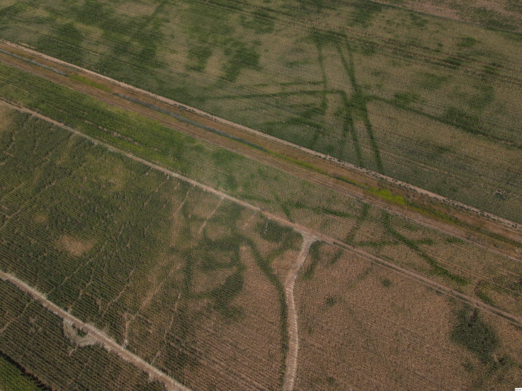
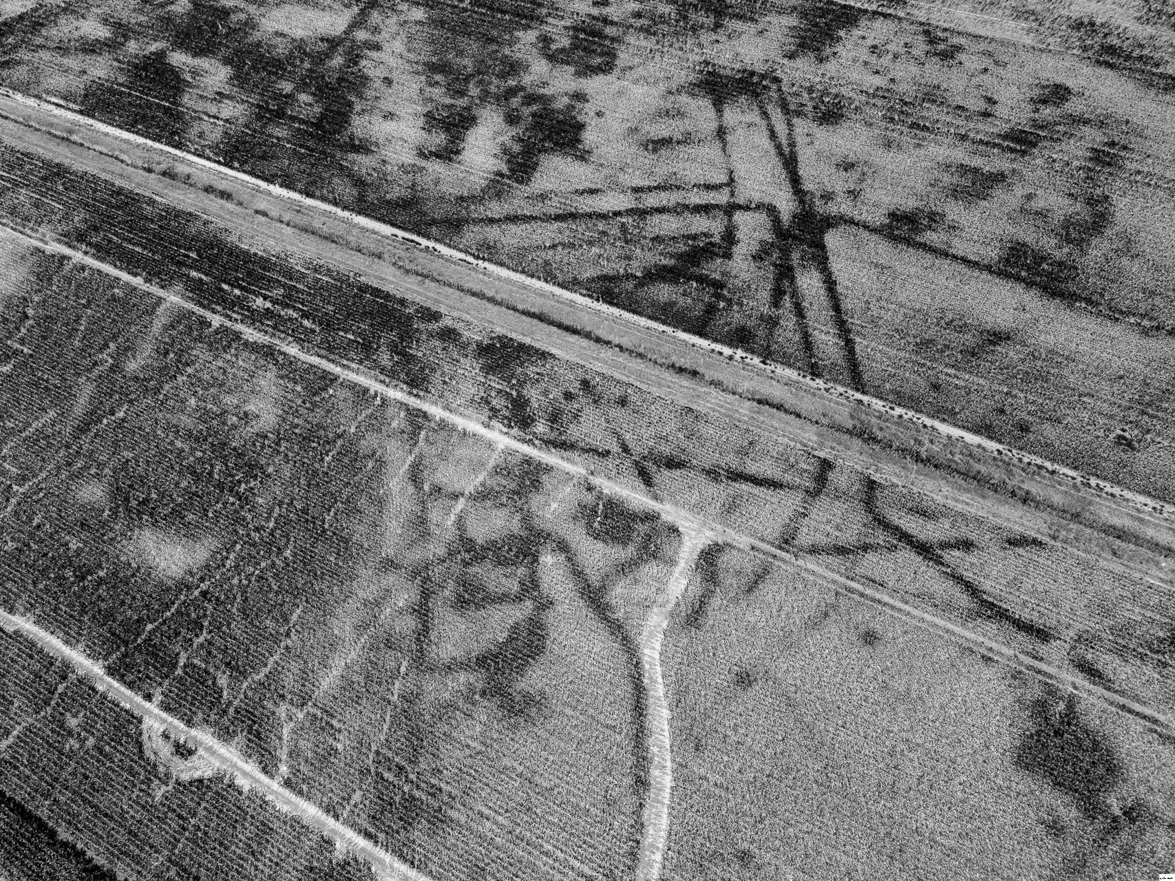
A few years ago, on a historical Google Earth view, I spotted a remarkably crisp and complex set of crop marks just north of Cambridge, between the A14 and Landbeach. They cover well over 1/4 km sq. The Macdonald Institute at the University confirmed that these were known from earlier aerial surveys. The site was initially thought to be Romano-British but a 1999 training dig on part of the site revealed that they were actually middle Iron Age. Luckily, this year, most of the site is a monoculture of maize, and I seem to have timed it just about right with the drought. What you can see with a drone is astonishing! 🙂